Volcanism in the Cascades:
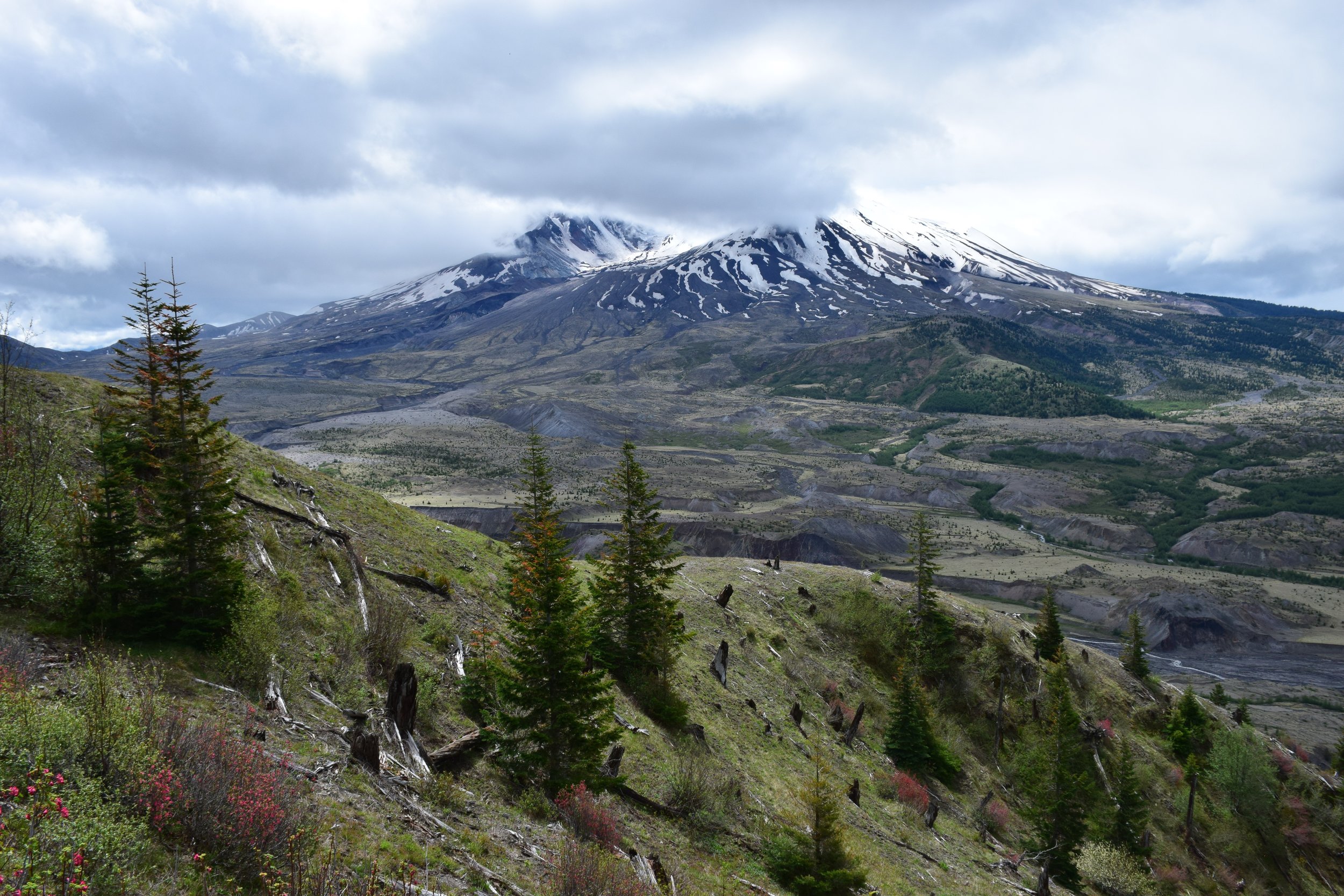
Mount St. Helens
A Grade 6-8 Quest
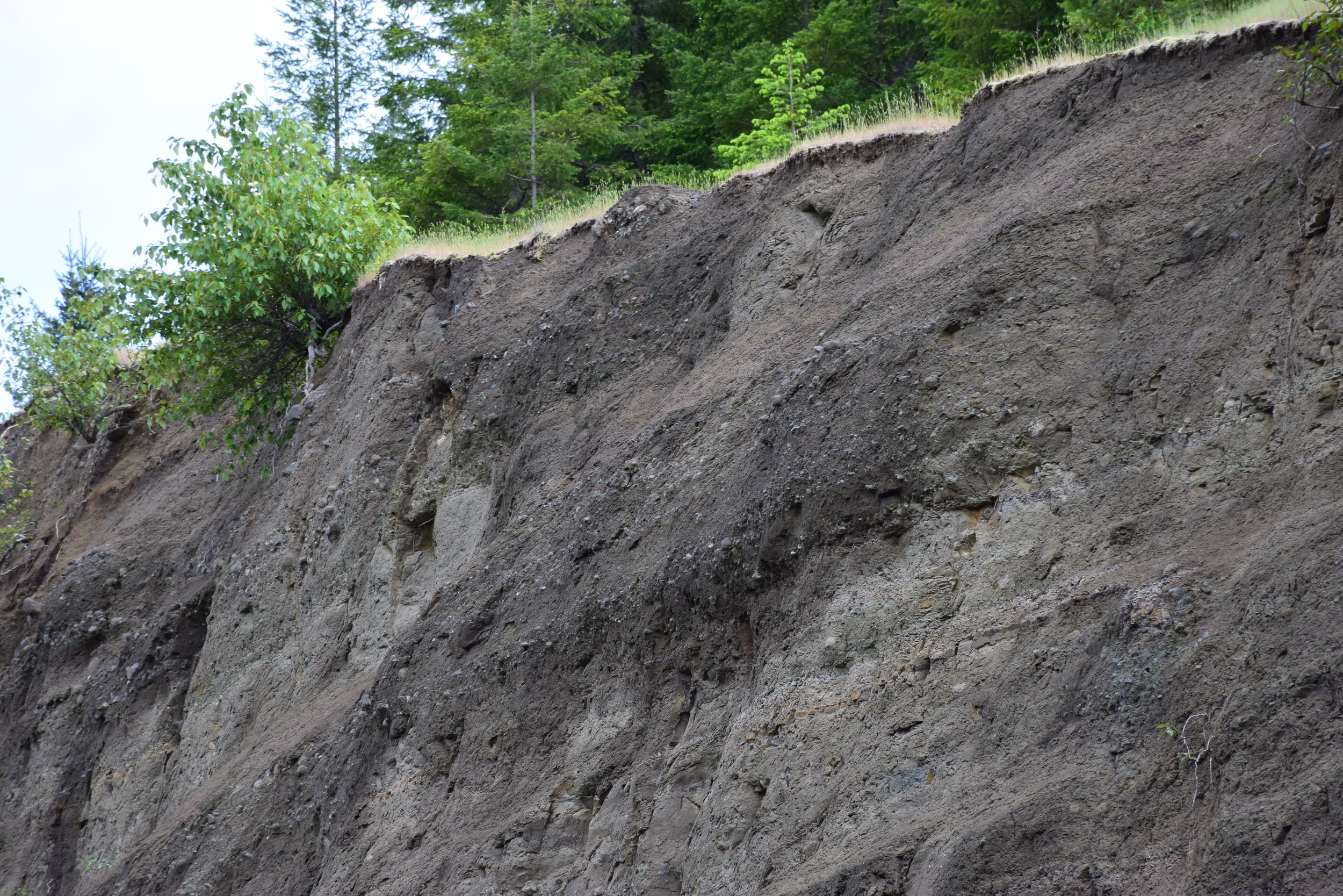
This quest is designed to have teachers answer the question What causes there to be volcanoes in the Cascades and how do these volcanoes affect people living in the Pacific Northwest? This question is used here, along with an anchor phenomenon about eruption styles in several volcanic provinces, as a vehicle to study volcanism and how plate tectonics drive volcanism – processes which contribute to the core concept that Earth’s landforms and surface features are best explained by interactions of key systems over time and at multiple scales. This quest combines discussions and activities about the rock cycle and landforms, stratigraphy and age dating, and plate tectonics and how tectonics drives volcanism, with an examination of real-world sites in Washington that provide evidence about the volcanic system of the Cascades and how it functions. The subduction-zone related volcanoes of the Pacific Northwest are compared with volcanism in Hawaii, Wyoming, and Iceland and with ancient rift-basin volcanoes in the eastern United States and Canada. Participants use specific combinations of practices and cross-cutting concepts to address the various investigative phenomena that are presented. Rock identification criteria, map reading skills, and principles of stratigraphy and relative age-dating are brought to bear on the local geological column, allowing participants to gather the evidence necessary to support their reasoning and explanations for phenomena. Upon completion of the quest, participants gain a detailed picture of how the Earth generates new crust and an understanding of where these processes fit within the larger rock cycle.
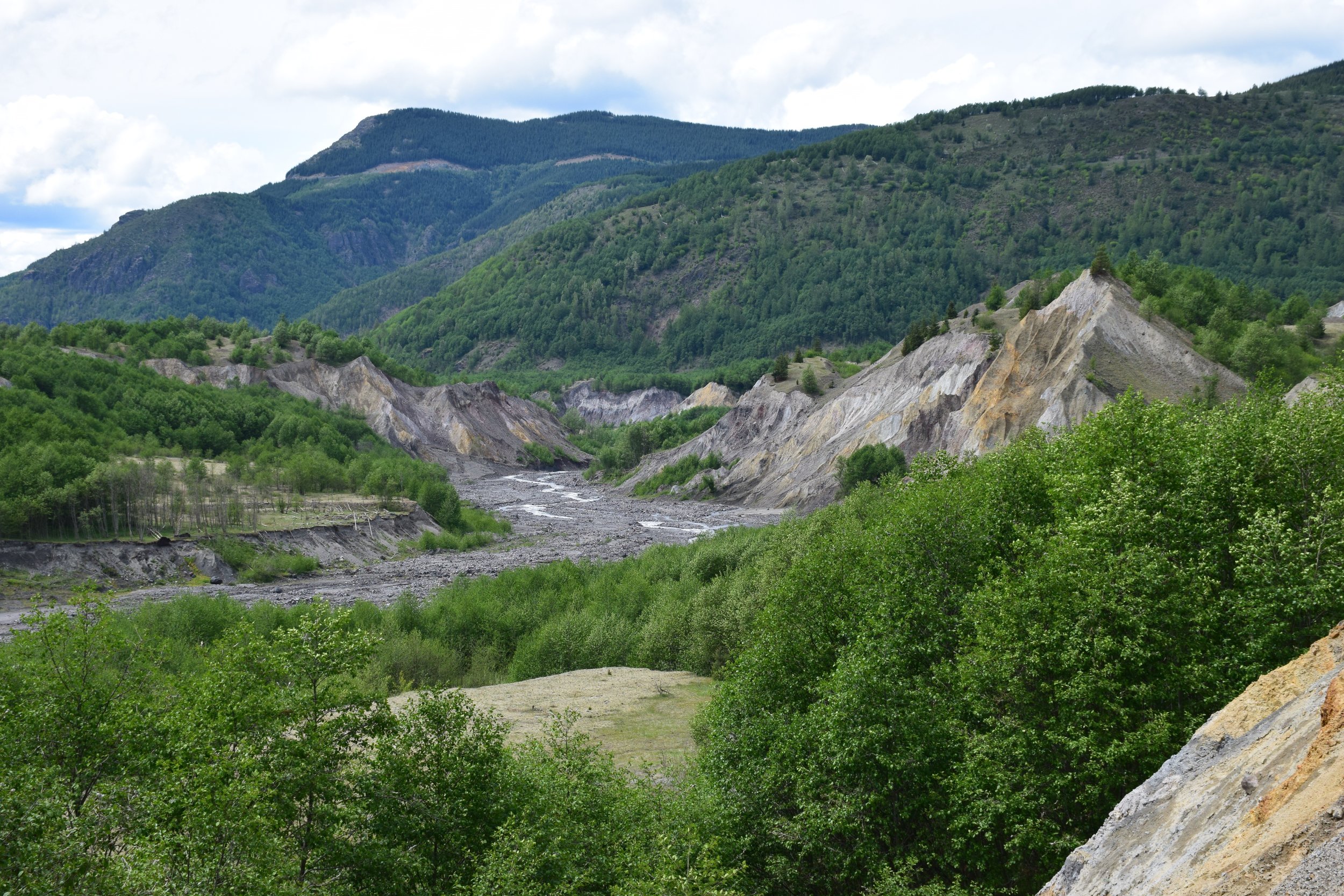
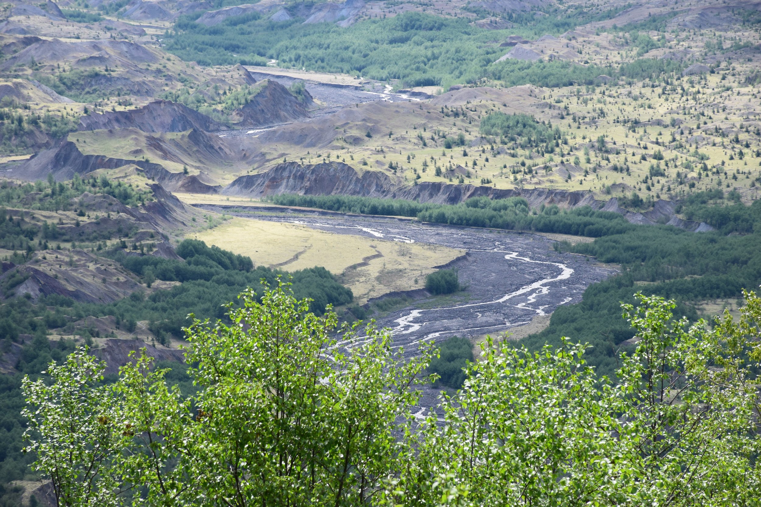
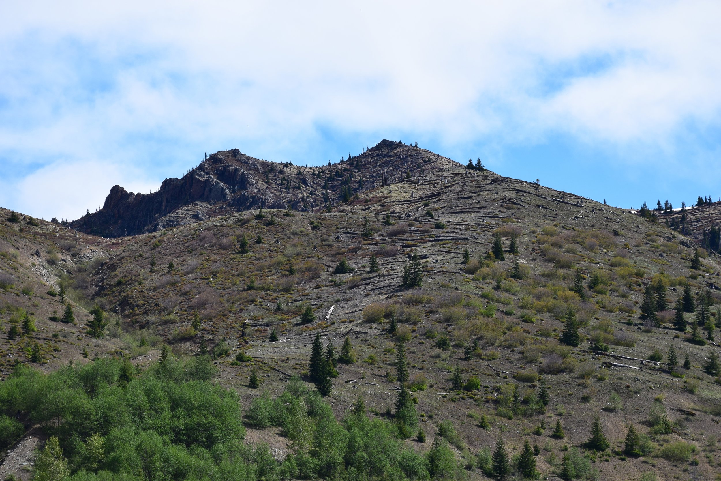
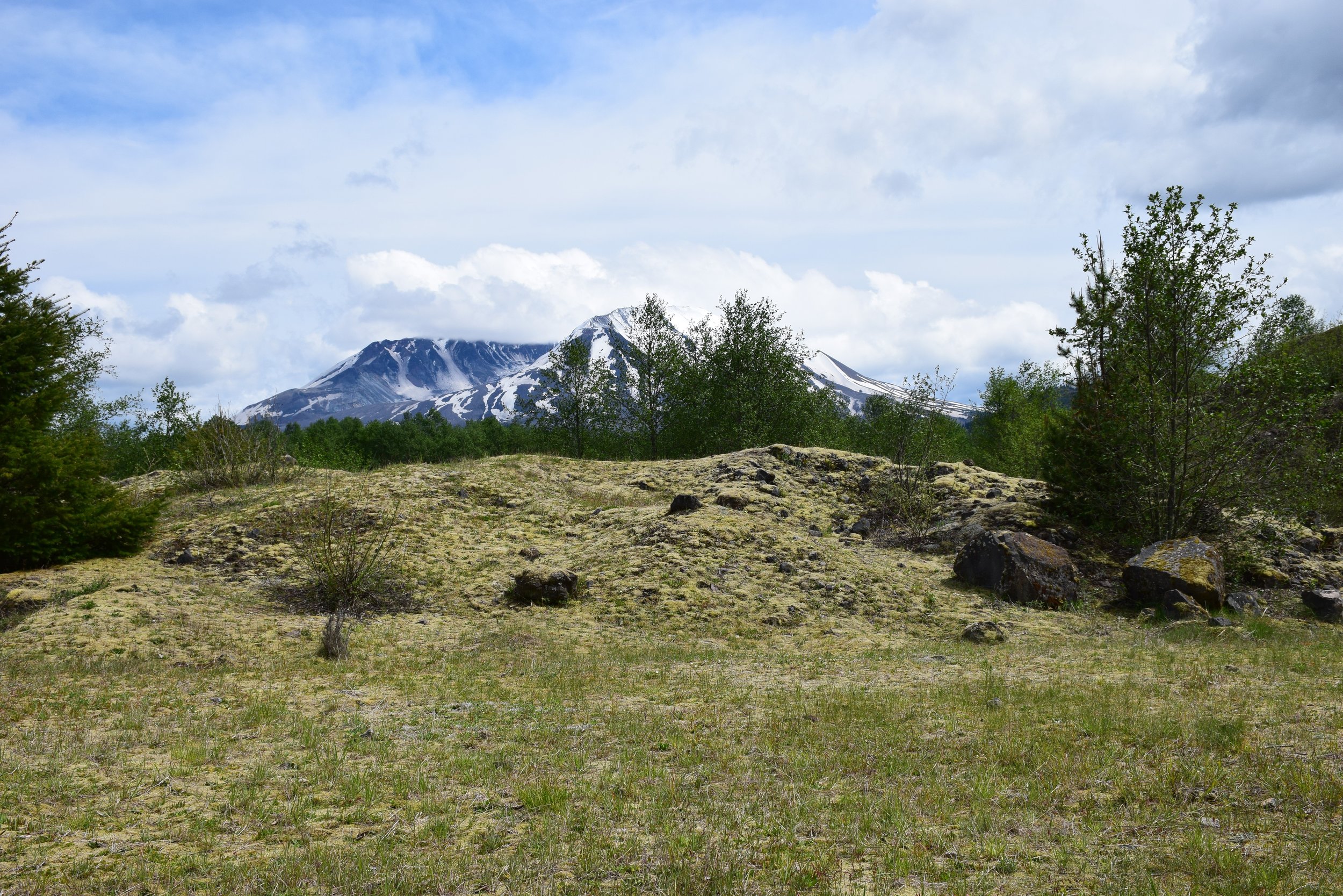
Volcanism in the Cascades: Mount St. Helens is an in-person quest. We run this as a two-day classroom workshop or as a three-day fieldtrip workshop that includes both classroom time and time spent on actual volcanic landforms around Mt. St. Helens. The fieldtrip version is offered from June to September. The classroom version is offered at any time of the year.
Primary core idea material addressed in this quest (in part):
ESS2.A (Earth Materials and Systems)
ESS2.B (Plate Tectonics and Large-Scale System Interactions)
ESS3.B (Natural Hazards)
Core idea material secondarily addressed in this quest (in part):
PS3.A (Definitions of Energy)
ESS1.C (History of Planet Earth)
Performance Expectations associated with this quest (in part):
2-PS1-1 – Plan and conduct and investigation to describe and classify different kinds of materials by their observable properties.
2-ESS1-1 – Use information from several sources to provide evidence that Earth events can occur quickly or slowly.
2-ESS2-2 – Develop a model to represent the shapes and kind of land and bodies of water in an area.
4-ESS1-1 – Identify evidence from patterns in rock formations and fossils in rock layers to support an explanation for changes in a landscape over time.
4-ESS2-2 – Analyze and interpret data from maps to describe patterns of Earth’s features.
5-PS1-3 – Make observations and measurements to identify materials based on their properties.
5-ESS2-1 – Develop a model using an example to describe ways that the geosphere, biosphere, hydrosphere, and/or atmosphere interact.
MS-PS3-1 – Construct and interpret graphical displays of data to describe the relationships of kinetic energy to the mass of an object and to the speed of an object.
MS-ESS1-4 – Construct a scientific explanation based on evidence from rock strata for how the geologic time scale is used to organize Earth's 4.6-billion-year-old history.
MS-ESS2-1 – Develop a model to describe the cycling of Earth's materials and the flow of energy that drives this process.
MS-ESS2-2 – Construct an explanation based on evidence for how geoscience processes have changed Earth's surface at varying time and spatial scales.
MS-ESS2-3 – Analyze and interpret data on the distribution of fossils and rocks, continental shapes, and seafloor structures to provide evidence of the past plate motions.
An example investigative-phenomenon performance activity associated with this quest:
Develop and use models to support an explanation for the phenomenon that between 10:25 – 11:00am local time on May 18, 1980, a gage downstream from the confluence of the North and South forks of the Toutle River recorded a stage change of 6.4 meters.
Performance Expectations addressed in this performance (in part): 2-ESS1-1; 5-ESS2-1; MS-ESS2-1; MS-ESS2-2.
Want more information on this quest? Drop us a message!