New England on Ice
A Grade 6-8 Quest
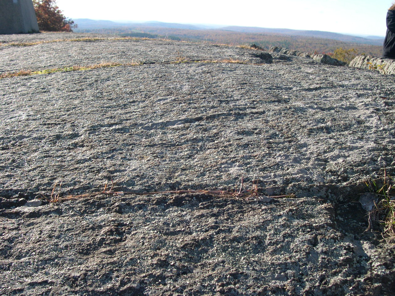
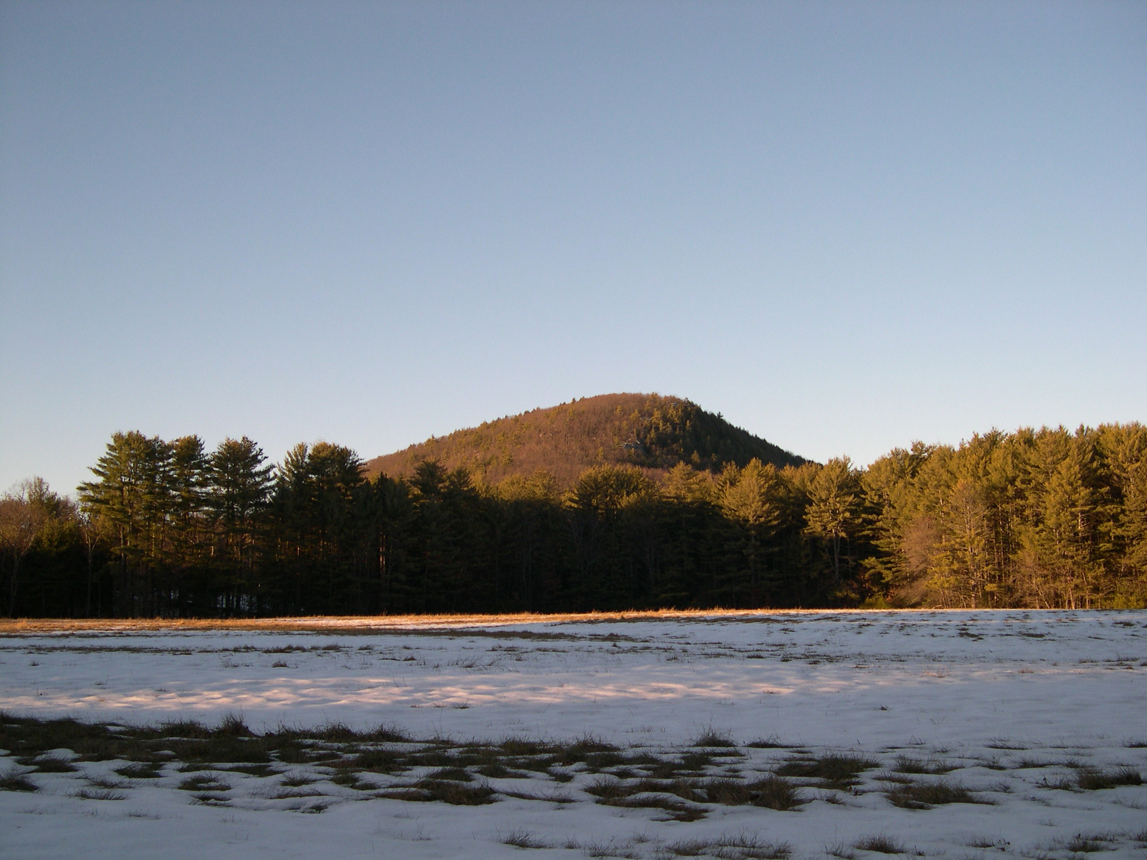
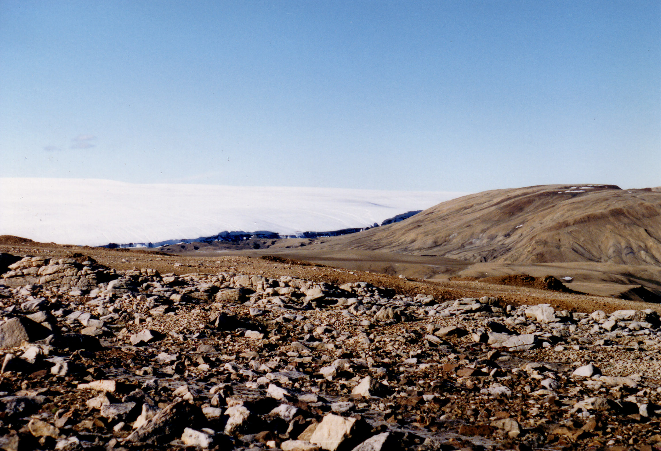
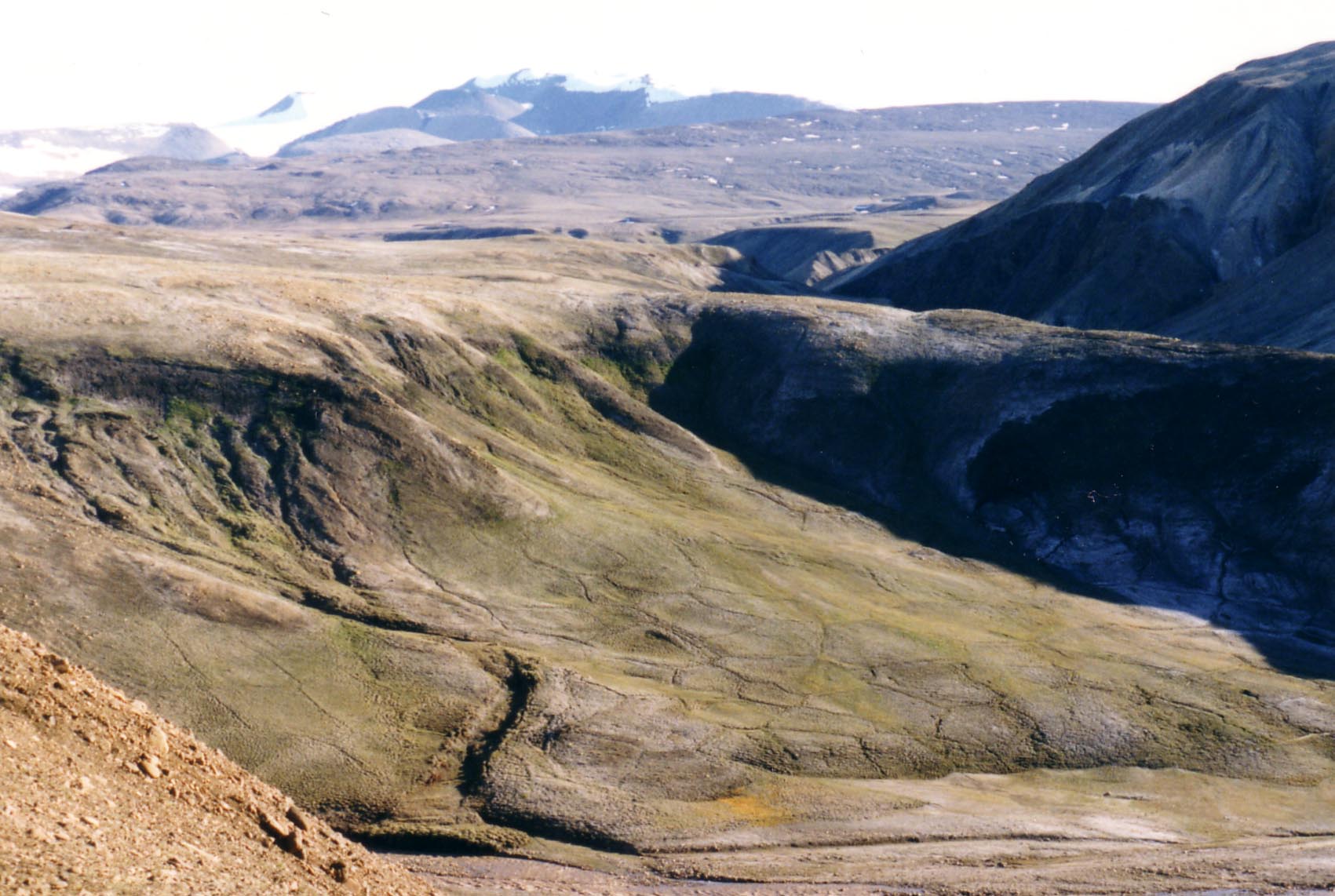
This series of quests (each focused on a different area of New England) is designed to have participants answer the question What effect did the last Ice Age have on New England’s landscape? This question is used, with regionally focused anchor phenomena, as a vehicle to better understand the role glaciers played in New England, both in shaping the landscape and in affecting the availability of important resources such as freshwater, sand and gravel, and trap rock. Examining the processes of weathering, erosion, and deposition involved in the glaciation of New England contributes to understanding the core concept that Earth’s surface configuration is the result of complex interactions of a set of dynamic and interconnected systems over a range of temporal and spatial scales. New England on Ice quests combine examinations of real-world locations with discussions and activities about the water cycle, weathering and erosion, rock and mineral identification, the rock cycle, stratigraphy, and relative age dating. Participants use specific combinations of practices and cross-cutting concepts to address the various investigative phenomena that are presented. Map reading skills, principles of stratigraphy, and rock identification criteria are brought to bear on the regional geological column and associated glacial landforms, allowing participants to gather the necessary evidence to support their reasoning and explanations for phenomena. Upon completion of a New England on Ice quest, participants gain a detailed picture of glaciation, how glacially related interactions between the hydrosphere and geosphere have modified the New England landscape, and how these processes fit within the larger rock and water cycles.
New England on Ice is a series of in-person quests. Each is run as a several-day workshop delivered in the classroom or as a fieldtrip that includes both classroom time and time spent out on actual glaciated landforms. The fieldtrip versions are offered from May to October. The classroom versions are offered at any time of the year.
Currently Available:
New England on Ice: Glaciers in and around the Connecticut Valley
Coming Soon:
New England on Ice: The Glaciers of Central New England
New England on Ice: The Glaciers of Cape Cod
New England on Ice: The Glaciers of Maine
Primary core idea material addressed in this quest Series (in part):
ESS1.C (History of Planet Earth)
ESS2.A (Earth Materials and Systems)
ESS2.C (The Roles of Water in Earth’s Surface Processes)
ESS2.D (Weather and Climate)
ESS3.A (Natural Resources)

Core idea material secondarily addressed in this quest series (in part):
PS1.A (Structure and Properties of Matter)
ESS2.B (Plate Tectonics and Large-Scale System Interactions)
ESS3.D (Global Climate Change)
Performance Expectations associated with this quest series (in part):
2-PS1-1— Plan and conduct an investigation to describe and classify different kinds of materials by their observable properties.
2-ESS1-1 – Use information from several sources to provide evidence that Earth events can occur quickly or slowly
2-ESS2-2 – Develop a model to represent the shapes and kind of land and bodies of water in an area.
4-ESS1-1 – Identify evidence from patterns in rock formations and fossils in rock layers to support an explanation for changes in a landscape over time.
4-ESS2-1 – Make observations and/or measurements to provide evidence of the effects of weathering or the rate of erosion by water, ice, wind, or vegetation.
4-ESS2-2 – Analyze and interpret data from maps to describe patterns of Earth’s features.
5-PS1-3 – Make observations and measurements to identify materials based on their properties.
5-ESS2-1 – Develop a model using an example to describe ways that the geosphere, biosphere, hydrosphere, and/or atmosphere interact.
MS-ESS1-4 – Construct a scientific explanation based on evidence from rock strata for how the geologic time scale is used to organize Earth's 4.6-billion-year-old history.
MS-ESS2-1 – Develop a model to describe the cycling of Earth's materials and the flow of energy that drives this process.
MS-ESS2-2 – Construct an explanation based on evidence for how geoscience processes have changed Earth's surface at varying time and spatial scales.
MS-ESS2-4 – Develop a model to describe the cycling of water through Earth's systems driven by energy from the sun and the force of gravity.
MS-ESS3-1 – Construct a scientific explanation based on evidence for how the uneven distributions of Earth's mineral, energy, and groundwater resources are the result of past and current geoscience processes.

An example investigative-phenomenon performance activity associated with these quests:
Develop and use a model to generate evidence for an explanation of the phenomenon that on a map of the northeastern United States, there are far more deposits of sand and gravel in New Hampshire and Massachusetts than there are in Pennsylvania.
Primary Performance Expectations addressed in this performance: 2-ESS2-2; 4-ESS2-1; 4-ESS2-2; 5-ESS2-1; MS-ESS2-2; MS-ESS3-1.
Want more information on this quest? Drop us a message!