Volcanoes of the Connecticut Valley
A Grade 6-8 Quest
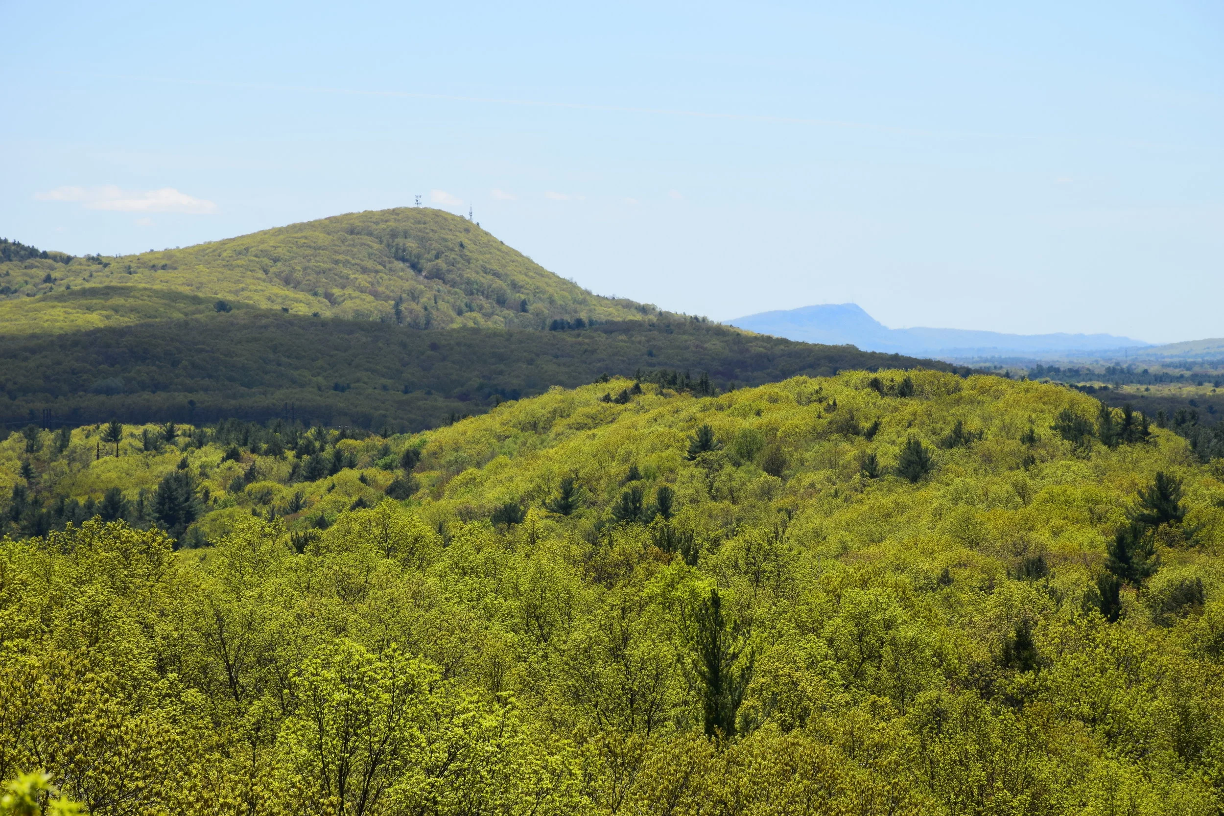
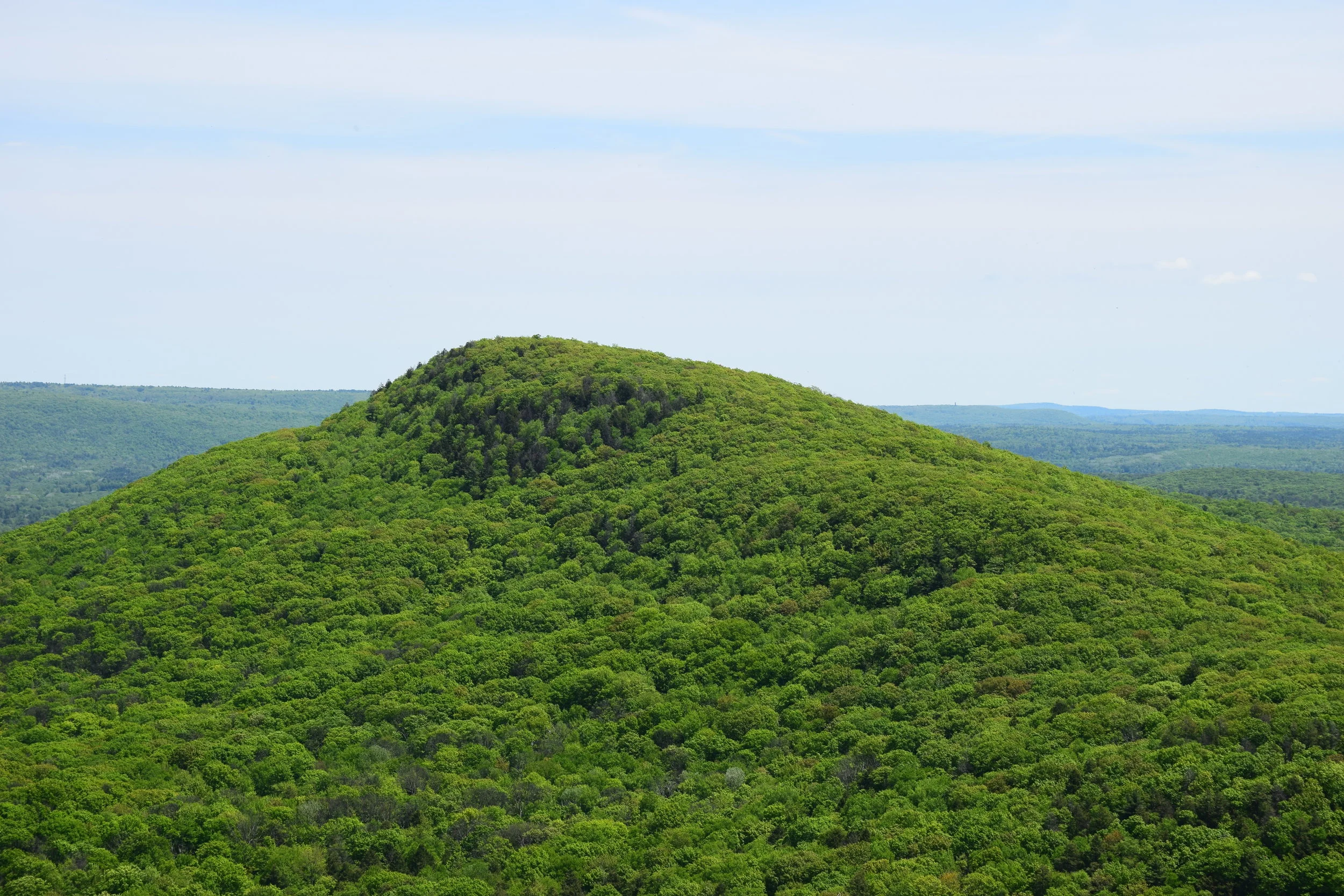
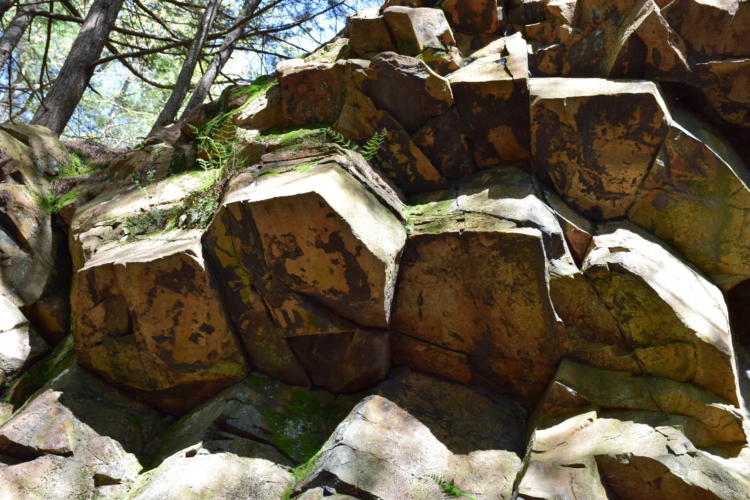
This quest is designed to have teachers answer the question How do we know there were volcanoes in the Connecticut Valley during the Age of Dinosaurs? This question is used here, along with an anchor phenomenon about differing eruption styles in several volcanic provinces, as a vehicle to study volcanism and how plate tectonics drive volcanism – processes which contribute to the core concept that Earth’s landforms and surface features are best explained by interactions of key systems over time and at multiple scales. This quest combines discussions and activities about the rock cycle and landforms, stratigraphy and age dating, and how tectonics drives volcanism, with an examination of real-world sites in Massachusetts and Connecticut that provide clues to central New England’s Triassic-Jurassic volcanic system and how it came about. These ancient rift-basin volcanoes are compared to East Africa’s current rift-basin volcanoes and to styles of volcanism in the Pacific Northwest, Hawaii, and Wyoming. Participants use specific combinations of practices and cross-cutting concepts to address the various investigative phenomena that are presented. Rock identification criteria, map reading skills, and principles of stratigraphy are brought to bear on the local geological column, allowing participants to gather the evidence necessary to support their reasoning and explanations for phenomena. Upon completion of the quest, participants gain a detailed picture of how the Earth generates new crust and an understanding of where that process fits within the larger rock cycle.
Volcanoes of the Connecticut Valley is an in-person quest. This quest is run as a three-day field trip that includes both inside lecture time and time out on the rocks. This quest can be run in either Massachusetts or Connecticut and is offered from May to October.
Alternatively, we offer a two-day version where we explore the evidence for New England's dinosaur-age volcanoes from the comfort of an inside location. This quest can be run in any state and at any time of the year.
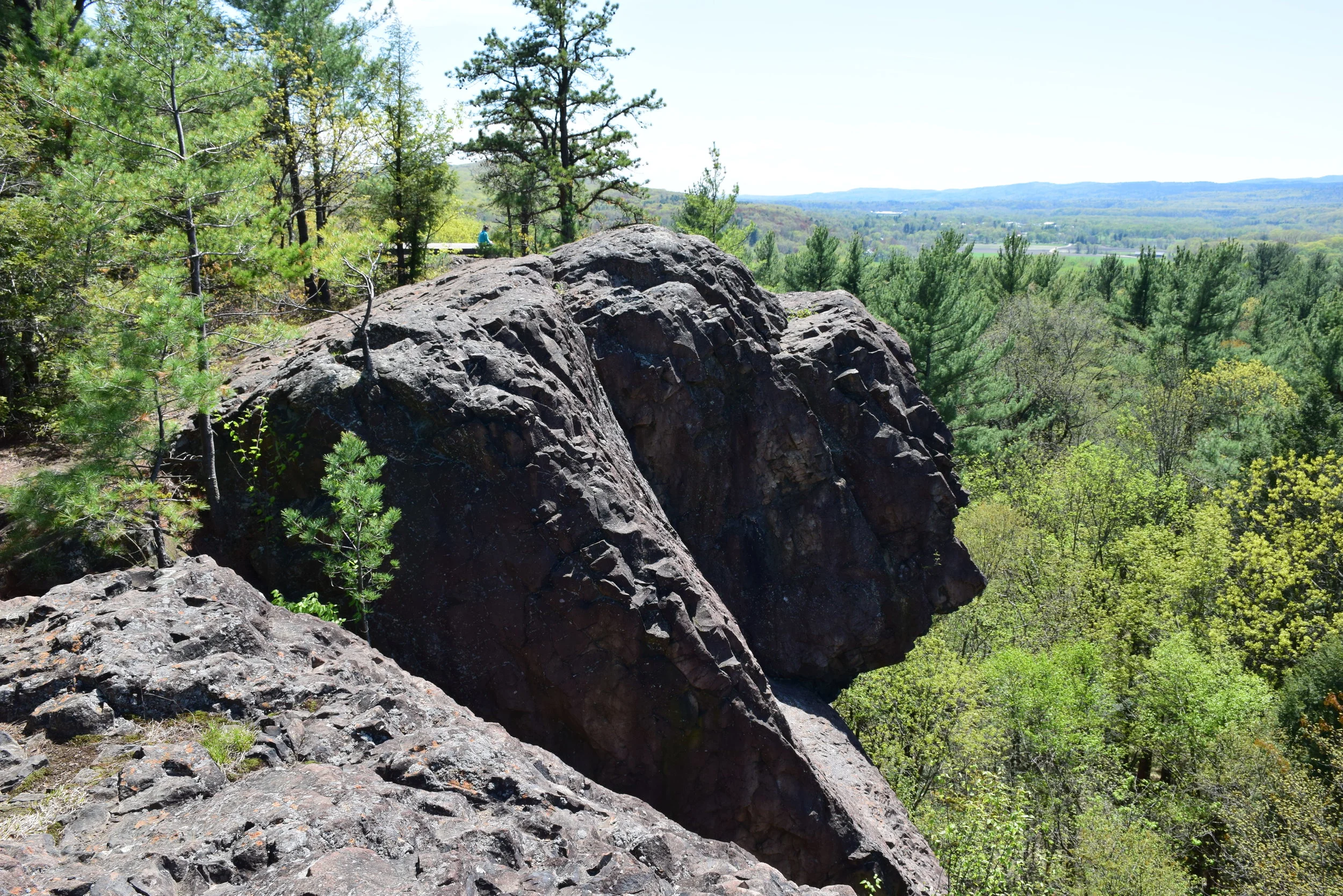
If you have a slightly more advanced background in the earth sciences, we offer a one-day field trip in the Deerfield Basin in Massachusetts that provides an overview of the science content covered in the full quest. This field trip can be scheduled from May to October.
Primary core idea material addressed in this quest:
ESS1.C (History of Planet Earth)
ESS2.A (Earth Materials and Systems)
ESS2.B (Plate Tectonics and Large-Scale System Interactions)

Core idea material secondarily addressed in this quest:
ESS3.A (Natural Resources)
ESS3.B (Natural Hazards)
Performance Expectations associated with this quest:
2-ESS1-1 – Use information from several sources to provide evidence that Earth events can occur quickly or slowly.
2-ESS2-2 – Develop a model to represent the shapes and kind of land and bodies of water in an area.
4-ESS1-1 – Identify evidence from patterns in rock formations and fossils in rock layers to support an explanation for changes in a landscape over time.
4-ESS2-2 – Analyze and interpret data from maps to describe patterns of Earth’s features.
5-PS1-3 – Make observations and measurements to identify materials based on their properties.
5-ESS2-1 – Develop a model using an example to describe ways that the geosphere, biosphere, hydrosphere, and/or atmosphere interact.
MS-ESS1-4 – Construct a scientific explanation based on evidence from rock strata for how the geologic time scale is used to organize Earth's 4.6-billion-year-old history.
MS-ESS2-1 – Develop a model to describe the cycling of Earth's materials and the flow of energy that drives this process.
MS-ESS2-2 – Construct an explanation based on evidence for how geoscience processes have changed Earth's surface at varying time and spatial scales.
MS-ESS2-3 – Analyze and interpret data on the distribution of fossils and rocks, continental shapes, and seafloor structures to provide evidence of the past plate motions.
MS-ESS3-1 – Construct a scientific explanation based on evidence for how the uneven distributions of Earth's mineral, energy, and groundwater resources are the result of past and current geoscience processes.
An example investigative-phenomenon performance activity associated with this quest:
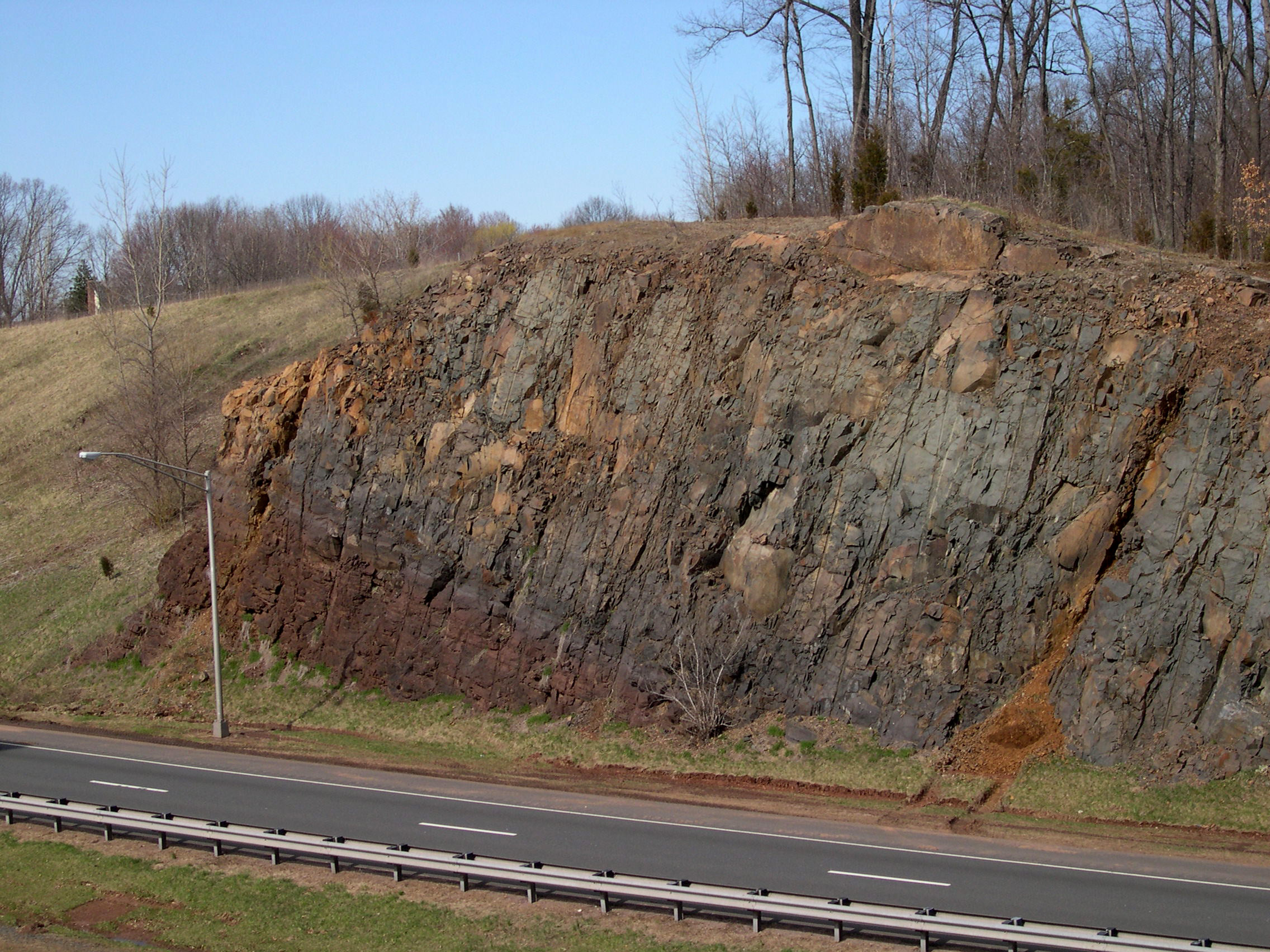
Analyze data to support an explanation for the phenomenon that the rocks exposed the eastern end of the French King Bridge in Massachusetts are ~454 million-year-old grey metamorphics whereas the rocks exposed at the same elevation at the western end of the bridge are ~199 million-year-old red-brown sediments.
Primary Performance Expectations addressed in this performance: MS-ESS2-3; MS-ESS2-2.
Want more information on this quest? Drop us a message!